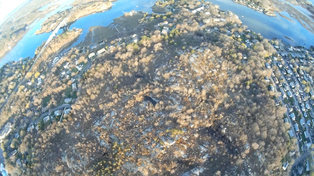
A previous article discusses Poles Hill in the context of Fitz Henry Lane’s 1863 painting The Babson Meadows at Riverdale. Here, we go back further in time to when the rocky plateau could have served as a ceremonial landscape and astronomical observatory for the Pawtucket/Wanaskwiwam people.
An Ancient Observatory
In 2013–2014, anthropologist Mary Ellen Lepionka and I studied rock formations on Poles Hill (also known as Sunset Hill) to determine if they could have functioned as an ancient astronomical observatory. Combining ground-level observations with aerial data and astronomical models, we found evidence that the landscape could have been manipulated to chart celestial events.
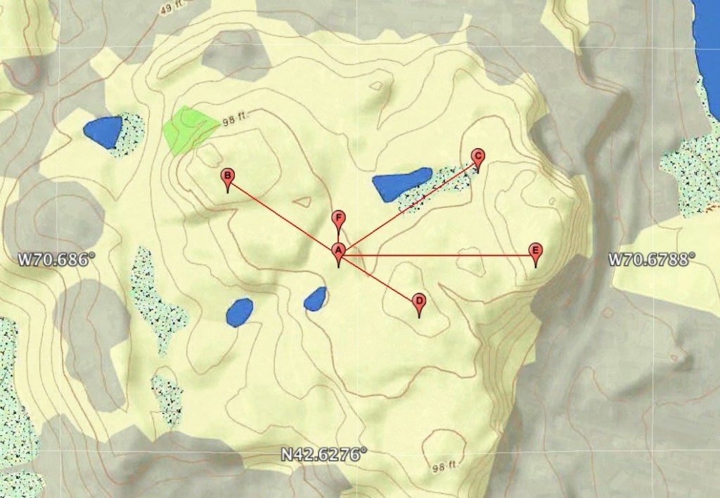
From a central sighting stone or “Gnomon” (A), we mapped specific boulder placements that appeared to correlate with seasonal events including:
- Summer Solstice: Fixed boulders marking sightlines for both the sunrise (C) and sunset (B) on the longest day of the year.
- Winter Solstice: Two massive, flat, stacked stones positioned to the southeast in the sunrise direction (D) on the shortest day of the year.
- Equinoxes: A possible alignment with the highest point on Poles Hill to the east in the direction of the fall and spring equinox sunrise (E).
Geological analysis found evidence that fire and percussion could have been used to manually shape and position glacial erratics.
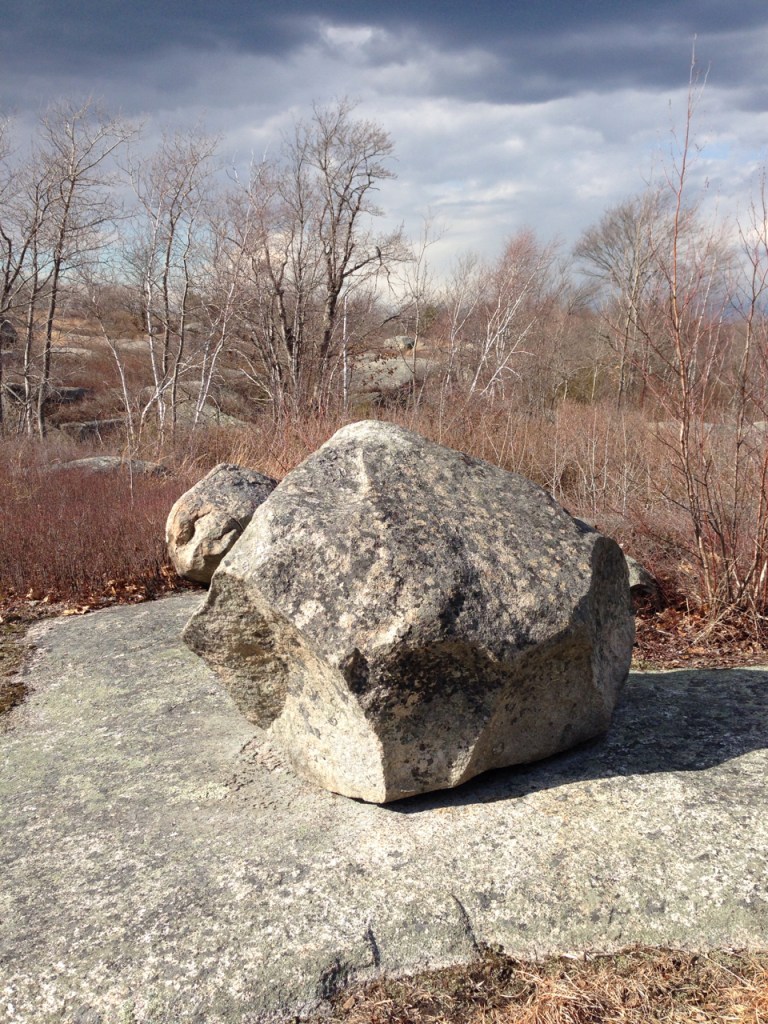
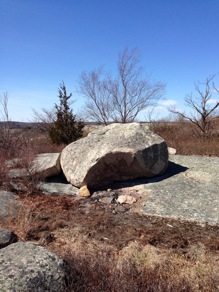
We found the boulder alignments deviated from today’s solstice directions by 1–2°. Assuming these deviations were caused by the Earth’s axial precession or “wobble” over millennia, we estimated the site was constructed and actively utilized between 2,500 and 4,000 years ago (during the Archaic and Woodland periods). At that time, the North Star would not have been Polaris, but rather Thuban—a bright star in the constellation Draco. In a subsequent study additional evidence was discovered supporting the possibility that certain boulders could have been positioned to mirror some of the brighter stars in the constellation Drago, in particular the Gnomon to Thuban, and a rock to the north (Snake Rock) to the star Rastaban.
Beyond the Stars: A Ceremonial Landscape
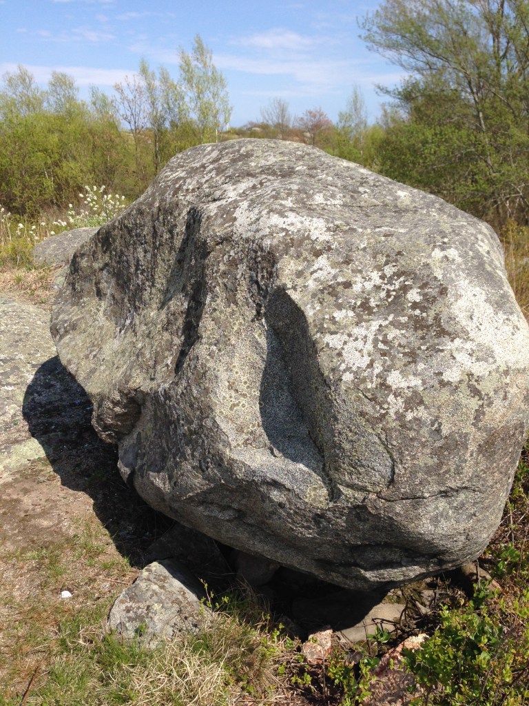
While the astronomical alignments offer profound insight into how ancient skywatchers charted seasonal cycles, our research indicates that Poles Hill could have been much more than an astronomical observatory. It may have functioned as a sacred Ceremonial Stone Landscape (CSL) connected to Wanaskwiwam (Wonasquam), a seasonal Algonquian and Pawtucket village along the Annisquam River. Beyond the Gnomon and solstice markers, the hill is home to numerous CSL petroforms, healing triangles, and striking effigy stones manually shaped to resemble cultural spirit animals like turtles, whales, panthers, and serpents—including the prominent Snake Rock. For the shamans and inhabitants of Wonasquam, Poles Hill was a vital spiritual center where the architecture of the earth directly mirrored both the cosmos above and the sacred landscape around them.
For More Information
A series of public presentations, a video, and conference papers detailing our findings were published in the Bulletin of the Massachusetts Archaeological Society and the journal of the New England Antiquities Research Association.
Visit Mary Ellen’s blog to learn more about the Indigenous history of Essex County, including Cape Ann.
Featured image at the top of the article courtesy Allan Stanish.


Leave a Reply