
Our understanding of a place is limited by the relatively short time we experience it. We often forget that places have a history. It may not always be significant but it is often interesting. Imagining what existed in the past is a kind of mental exercise that gets us into the mode of thinking about a place as a function of time, like the time traveler in the H.G. Wells novel, The Time Machine.
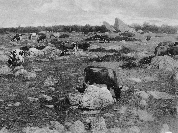
The once open landscape of Cape Ann, a mosaic of glacial boulders, pastures and moors, has given way over the past century to successional forest. Changes captured in photographs, landscape art, and maps tell the story of the interior woodlands of Cape Ann.
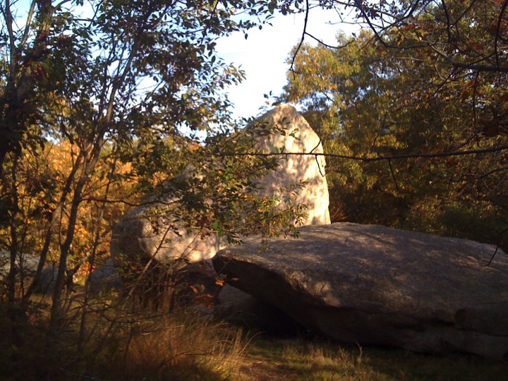
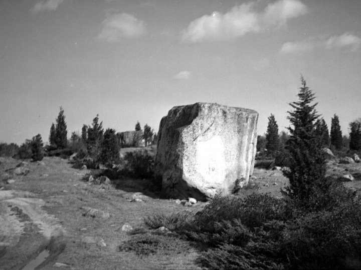
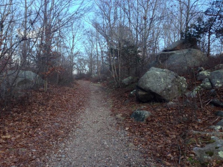
Glacial Erratics
Twenty thousand years ago New England was covered by an enormous glacier. As the climate warmed and the ice melted, rocks of all shapes and sizes that had been swept up by the glacier were left behind. Water from the melting glacier shaped the landscape depositing smaller rocks and pebbles along the shoreline leaving the larger rocks known as “erratics” all over Cape Ann.

Commons Settlement
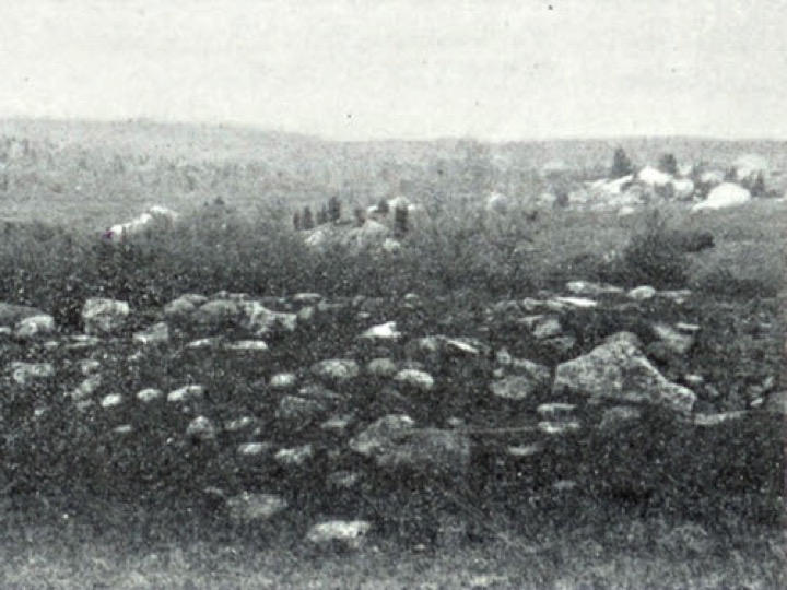
Gloucester’s first settlers lived along the Mill and Annisquam Rivers, and along the harbor. The Commons Settlement began as a result of the first land grants in 1688 that gave each citizen of Gloucester six acres of land. The settlement expanded with the subdivision and distribution of the common woodland in the early 1700s. Centrally located with access to mills, the harbor, and shore points by a network of roads and trails, pastures for raising livestock, small farms, and plenty of trees, the Commons Settlement grew. At its peak just before the Revolutionary War over a hundred people lived there. Today all that is left are the foundation stones and cellar holes of houses that have long since fallen or been torn down.
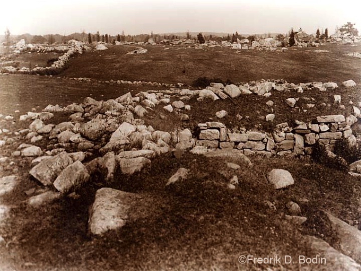
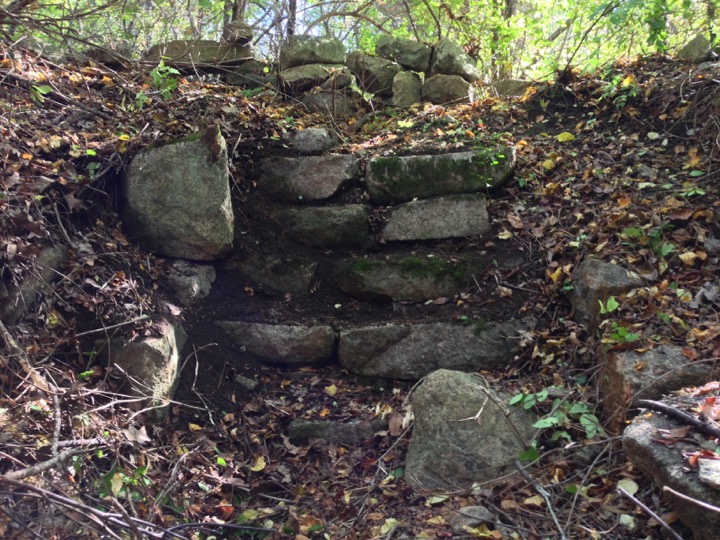
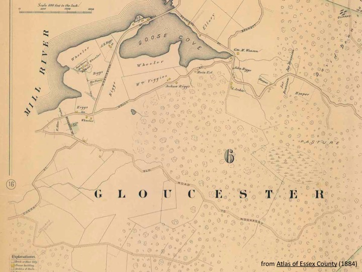
Whale’s Jaw, Peter’s Pulpit, and the Pearce cellar are at the eastern extent of pastureland that still existed when the above map was made. My the middle of the 20th century this too began reverting to woods as sheep, pigs, and other animals no longer grazed in the old pastures.

Farms
Although fishing was the reason for coming to Cape Ann in the first place, it did not become a major industry for some time. Settlers struggled for many years to survive. Imagine some of the difficulties they faced. Those of us who live here and attempt a summer garden know the challenges of poor soil, and a short, and often unpredictable growing season. That along with limited freshwater made the establishment of an agricultural economy difficult. Instead, smaller family farms developed. Crops were grown mostly in flatter areas with better soils along the Annisquam River and west. Extensive pastureland supported animal and dairy farms throughout the Cape. A few farms in the western part of Dogtown, in what is now Riverdale, continued into the mid 1900s.

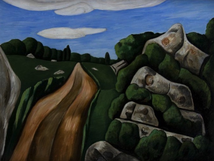
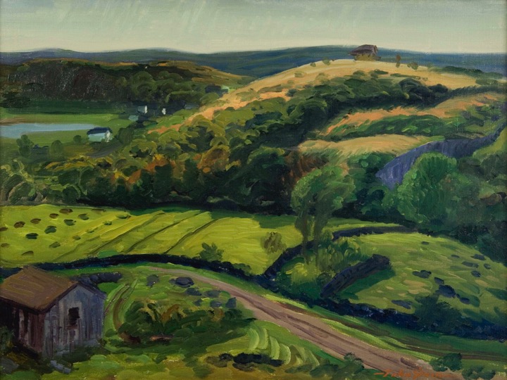
Art Landscapes
The transitional landscape of the early 1900s inspired a generation of poets and painters such as Charles Olson, Marsden Hartley, John Sloan, and others.


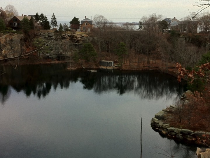
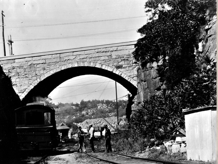
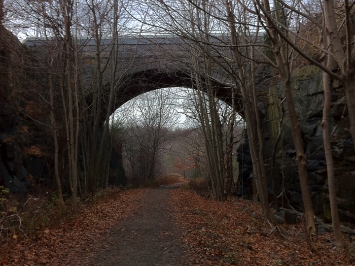
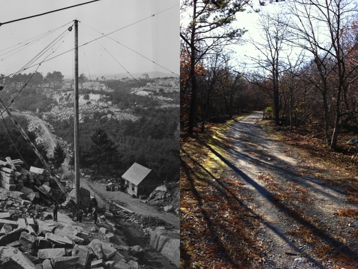
Granite Quarries
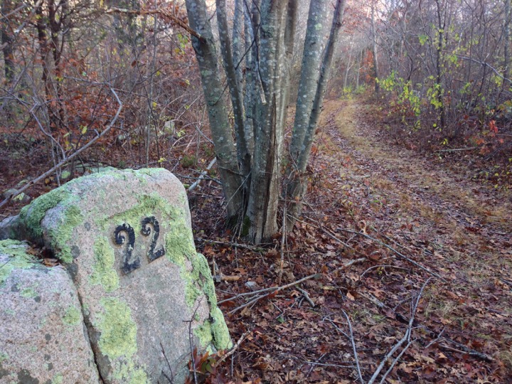
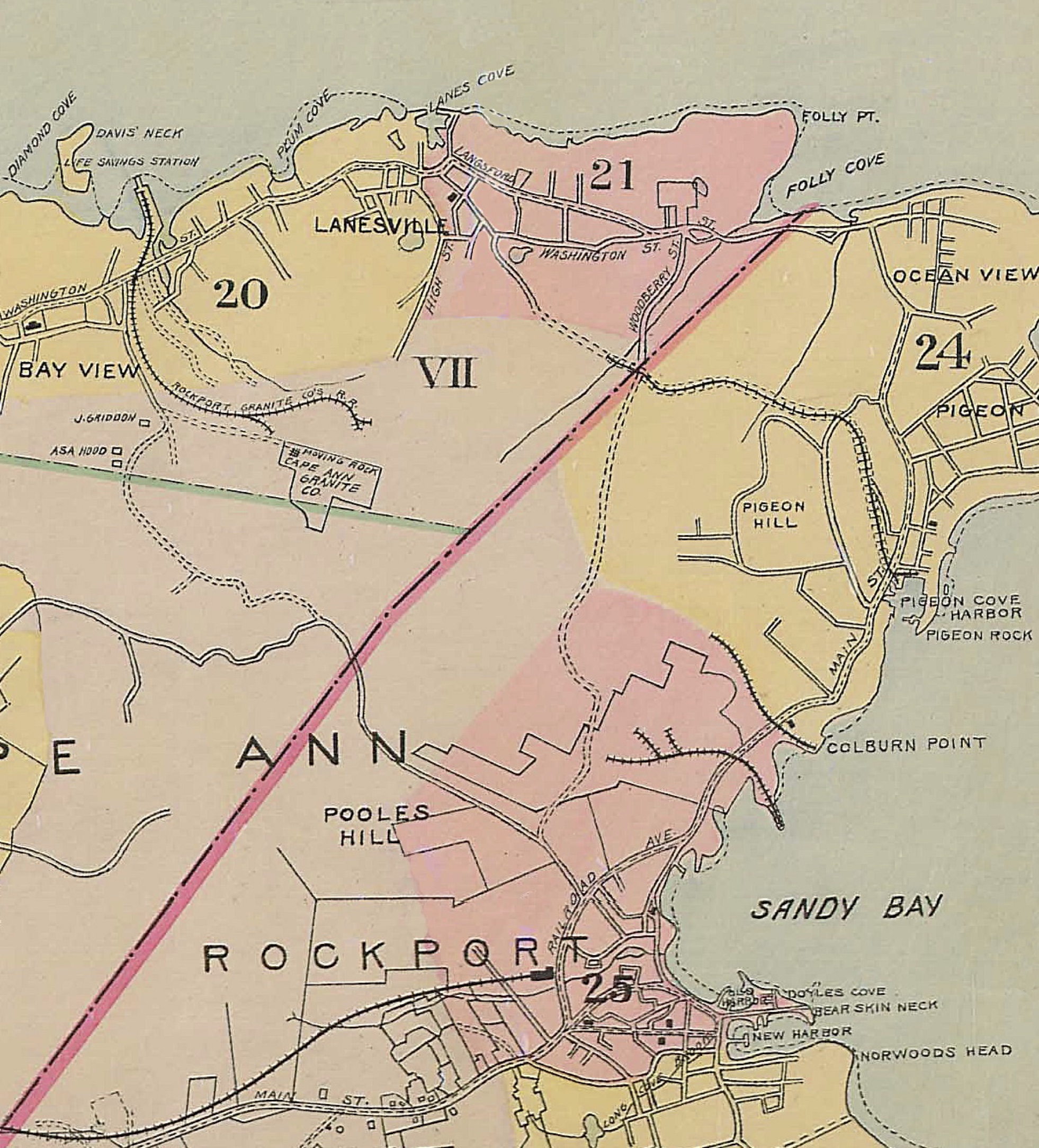
The decline of Dogtown was followed by the rise of stone industry. Granite quarrying began in the early 1800s in and around Pigeon Cove and spread to Lanesville and Bay View. An important part of the trail system in the north woods are abandoned tracks from the quarry railroads that were built in the late 1800s and early 1900s. Old and new photographs dramatize how the landscape in this part of Cape Ann has changed over the past century.

Something to Ponder
Can the open, scenic landscapes of the past century that inspired countless painters, writers, walkers, bird watchers and foragers of wild blueberries be restored? This question, posed at A Forum on the Landscapes of Cape Ann held on March 4, 2017 at the Cape Ann Museum, is yet to be resolved. Although it is possible and probably ecologically sound to do so some have questioned whether it should be done, whether we should interfere with the successional process. Future articles will consider this and related questions further.

Leave a comment